

By: Erin Moore
This November has had record-breaking storms and temperature swings, but why? Every possible answer can be linked back to one major factor: climate change.
In 2014, the number of geophysical events had tripled the number there were in 1980, but this isn’t too much of a shock for the general population to hear. We all know climate change is deeply impacting our animals and future, but its impact on our daily life is less apparent. We know it causes hot weather in the summer and natural disasters in other areas, but in Minnesota, it doesn’t affect us in any months other than July and August, right? Wrong.
Hot summer days have become significantly more common than cold winter nights, as hot summer averages have doubled if not tripled their commonality, while cold winter temperatures have become a third of what they were in 1980. According to the EPA, “if the climate were completely stable, one might expect to see these highs and lows each accounting for about 50% of the records set. Since the 1970s, however, record-setting daily high temperatures have become more common than record lows across the US.”
From 2000-2009, the record lows have been half as frequent as the record highs. However, 2022 has seen record lows in the past month, and they are expected to continue. In the areas and days where temperatures are significantly cold, their level of extremity is dangerously high.
A 2018 NPR article stated, “New research suggests that global warming could cause temperature swings to get unusually extreme. Climate scientists already know that as the planet warms, there’s a bigger chance of extreme weather: bigger hurricanes, for example, or heavier rainfall. But a temperature roller coaster could be on the way as well, according to the study, which appears in the journal ‘Science Advances.’” This is due to drier soil from a warming hemisphere. Drier soil leads to temperature fluctuations and vulnerability.
Clearly, we’re already seeing this play out not even five years after the article’s release.
On Kare 11, it was stated that this winter holds third place for temperature swings in Minnesota for the past fifty years with a 71º difference between the highest and lowest temperatures this month. This year is surpassed by only 1977 (77º) and 1978 (73º).
Additionally, the 2nd of November was a record-breaking warm day in Minnesota. The highest temperature recorded was 79º at Theilman, and the Twin Cities reached 76º, according to the Minnesota Department of Natural Resources.
November is one of the fastest-warming months in the state, gaining 4.2º yearly. However, January, December, and September respectively are all ahead of November in fastest warming months.
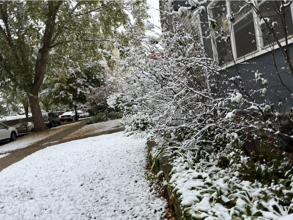
Just a week after November 2nd, a powerful storm occurred. In the Twin Cities, temperatures fell 20º in a span of four hours, reaching a 40º fall after twelve hours had elapsed. Additionally, Warroad received a total of 9.1” of snow on November 10th.
On November 29th, the Twin Cities nearly matched Warroad’s level of snowfall with 8.4” Many schools in the state were canceled, released early, or had activities canceled. Additionally, transportation for many was delayed as vehicles struggled through the rough, slippery roads.
Next time you think about extreme weather, and the switches from warm to cool within mere days, don’t forget about the part we play in causing it.
